

On March 12, Yang Qin, Chairman of GridWorld, Deng Yongpeng, Deputy General Manager, and Jiao Bo, Regional Director of the Northwest Region, led a delegation to visit Aerial Photogrammetry and Remote Sensing Group Co., LTD.

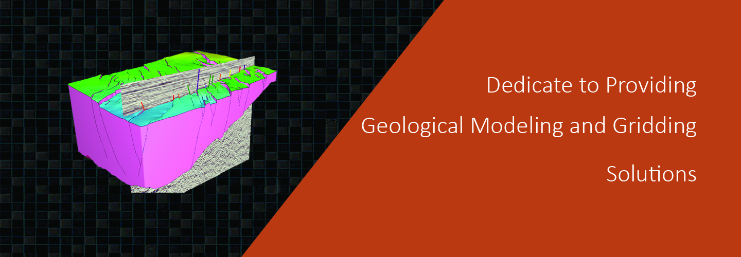
a completely new approach to the science of 3D grid generation and model description solves major weaknesses still inherent in even the most current geomodeling technologies commonly used today.
construct grids of any size and type.No limits.
automation speeds the creation of workflows and results.
much easier to construct accurate representations of complex subsurface geology.
increased productivity for geoscientist due to a short learning curve, saves time and money operational costs, but also in drilling and production costs with a more accurate reservoir description and better analysis and planning.
Geomodeling & Gridding Algorithms
On March 12, Yang Qin, Chairman of GridWorld, Deng Yongpeng, Deputy General Manager, and Jiao Bo, Regional Director of the Northwest Region, led a delegation to visit Aerial Photogrammetry and Remote Sensing Group Co., LTD.
In coal mine roadway excavation and coal mining operations, the ever-changing geological conditions have always been a persistent challenge—traditional static models become "rigid" and ineffective once deployed