Why Has 3D Geological Modeling Become the Key to Increasing Mineral Reserves and Boosting Production?
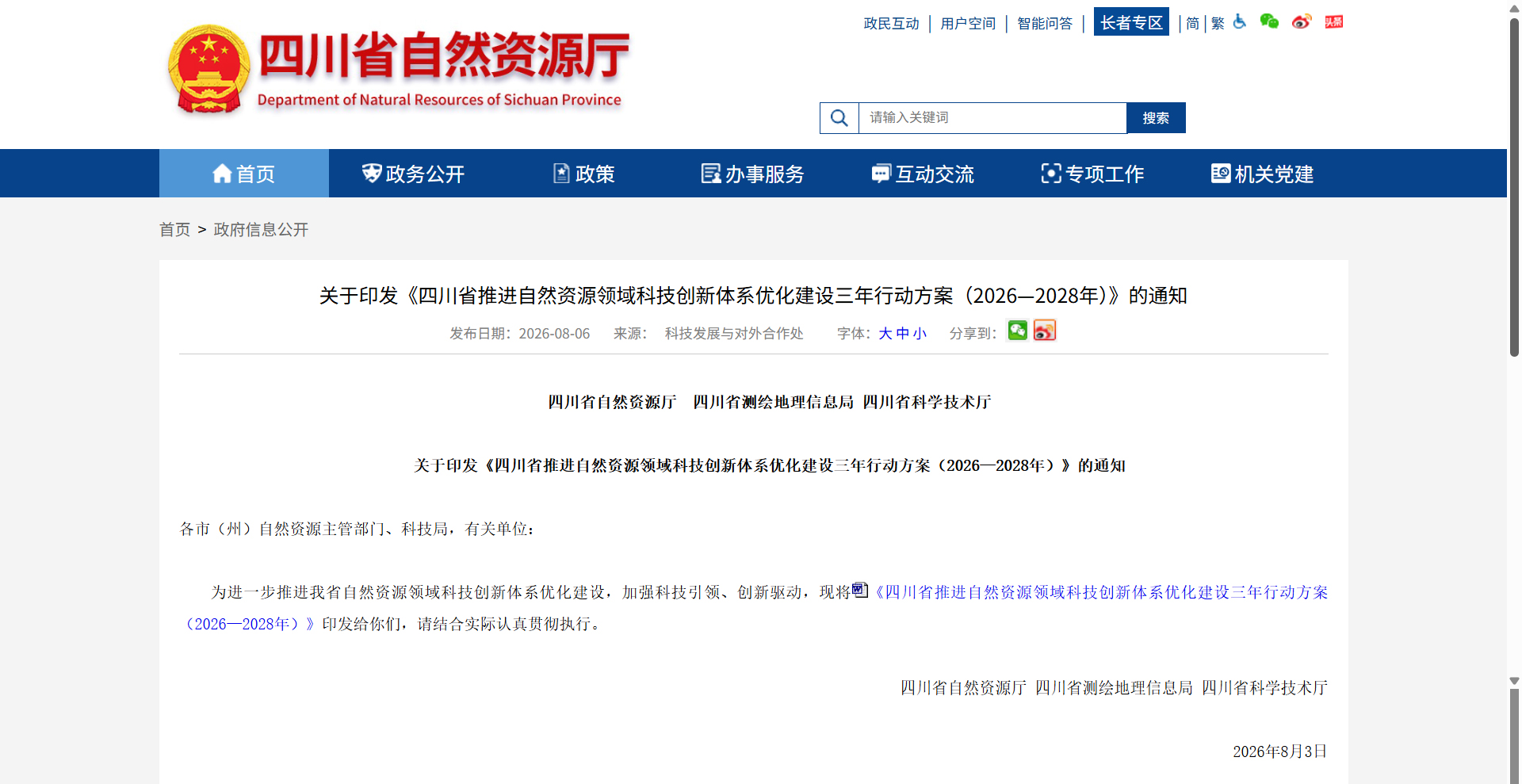
2026-08-26Recently, the Department of Natural Resources of Sichuan Province, the Bureau of Surveying and Mapping and Geographic Information, and the Department of Science and Technology jointly issued the Three-Year Action Plan for Optimizing the Construction of a Scientific and Technological Innovation System in the Field of Natural Resources in Sichuan Province (2026–2028). This plan explicitly identifies the advancement of 3D geological modeling as a key focus area for mineral resource research. This policy signal marks the elevation of 3D geological modeling from mere technological exploration to a regional strategic initiative.
Policy Orientation: 3D Geological Modeling as a "Hard Requirement"
The Sichuan plan proposes that, focusing on strategic minerals such as vanadium-titanium magnetite, rare earths, and phosphorus, typical 3D geological and prospecting models for representative deposits should be established to reveal the 3D structures and spatiotemporal evolution patterns of key mineral concentration areas. Meanwhile, the plan requires the establishment of an integrated "space-air-ground-well" mineral development technology system, carrying out intelligent extraction of multi-source metallogenic information and quantitative prediction of prospecting targets. This means that 3D geological modeling has become an indispensable technical means for "increasing reserves and boosting production" of mineral resources.
Technological Value: From "Digitalization" to "Intelligentization"
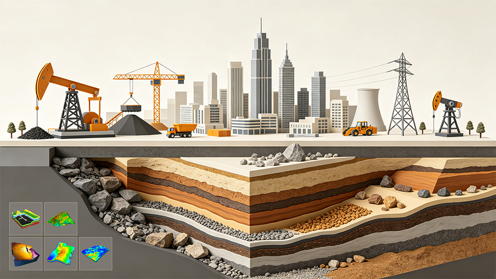
High-precision 3D geological models serve as a crucial foundation for the digitalization of the geological industry, providing key support for resource prediction, engineering planning, and disaster prevention. Traditional geological work, which relies on 2D maps and manual experience, struggles to meet the demands for expressing fine structures in complex geological environments. By integrating multi-source data such as boreholes, geophysical exploration, and remote sensing, 3D geological modeling intuitively presents geological structures, providing a digital foundation for scenario applications and management. With the introduction of AI technology, the degree of modeling automation and the ability to express complex structures are being significantly enhanced.
Application Scenarios: Covering the Entire Chain from Mineral Resources to Disaster Prevention and Mitigation
In the field of mineral exploration, 3D modeling technology has become a core means to improve the efficiency of deep prospecting. By constructing ore body models, analyzing geological structures, and estimating resource reserves, it provides a scientific basis for optimizing exploration design. In terms of geological disaster prevention and control, 3D models can support ground subsidence simulation, risk analysis of water and mud inrush, and more. In fields such as urban underground space and water conservancy and hydropower, 3D geological modeling is equally indispensable foundational work.
GridWorld: Providing a Core Technological Foundation for the "Underground Blueprint"
As a participant in China's 3D geological modeling and Transparent Earth technologies, GridWorld has independently developed four core products: DepthInsight geoscience modeling software, Computing Application Modules (CAE simulation and intelligent application components), TransparentEarth engine, and the tEgg generative geological large model. The company's products cover the entire chain from data collection and model construction to intelligent applications. They can efficiently integrate multi-source data such as geological maps, boreholes, and geophysical exploration, providing a complete toolchain from geological interpretation to attribute modeling. In mineral exploration, the specialized "ore body modeling - resource reserve estimation" module of the software platform assists in the 3D transparent prediction and evaluation of strategic minerals. In geological disaster prevention and control, by constructing dynamic 3D models that couple geological structures, groundwater migration, and stress fields, it provides decision-making support for disaster early warning.
With the implementation of Sichuan's three-year action plan, the market demand for 3D geological modeling will continue to be unleashed. Relying on its independently controllable core technologies and extensive industry application experience, GridWorld has newly launched a full-lifecycle dynamic geological model solution. This will continue to provide solid technical support for mineral resource exploration, geological disaster prevention and control, and smart mine construction, empowering the digital and intelligent development of the geological industry.