

Against the backdrop of global oil and gas exploration and development continuously advancing into deepwater, deep formation and unconventional complex domains

a completely new approach to the science of 3D grid generation and model description solves major weaknesses still inherent in even the most current geomodeling technologies commonly used today.
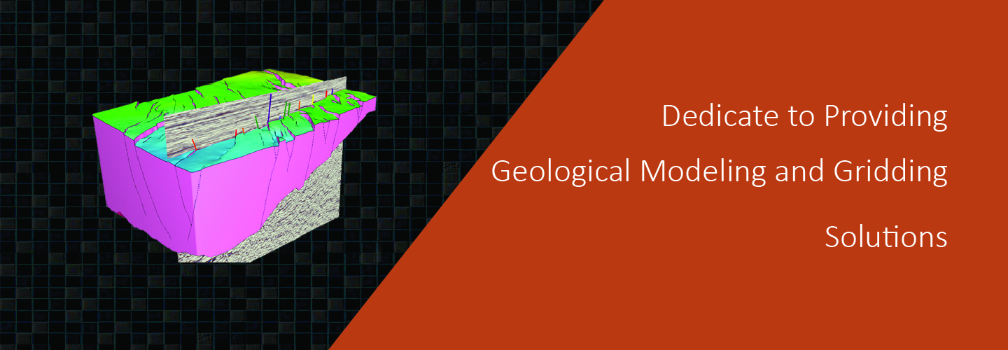
construct grids of any size and type.No limits.
automation speeds the creation of workflows and results.
much easier to construct accurate representations of complex subsurface geology.
increased productivity for geoscientist due to a short learning curve, saves time and money operational costs, but also in drilling and production costs with a more accurate reservoir description and better analysis and planning.
Geomodeling & Gridding Algorithms
Against the backdrop of global oil and gas exploration and development continuously advancing into deepwater, deep formation and unconventional complex domains
Despite access to massive geological resources, China’s mining industry has long been trapped in experience-based decision-making pitfalls. Massive borehole, geophysical and geochemical exploration data are stored in scattered