
A Clear View 100 Meters Below: Three Powerful Tools to Make Geology "Visible at a Glance"
2025-01-16A silent tug-of-war between precision and complexity unfolds a hundred meters underground. From mines and shafts to working faces, meter-level and centimeter-level data intermingle. Hidden faults, collapse columns, and Ordovician limestone aquifers send subtle tremors through model curves. As tunneling advances, new fissures constantly challenge old understandings, and geological maps are gently folded by the passage of time.
The pursuit of geological transparency awaits a steady, deliberate iteration. Establishing an intelligent geological assurance system has gradually become a major focus for industry practitioners. In this context, three precisely targeted tools have emerged: the DepthInsight Geological Modeling Software, the Computing Application Modules (CAE Simulation & Intelligent Application Components), and the Transparent Earth Engine.
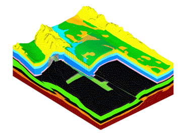
DepthInsight®Geological Modeling Software
DepthInsight®Geological Modeling Software integrates multi-source geological data to construct high-precision 3D geological models of any complexity. Leveraging gridded attributes, it seamlessly supports numerical simulation, machine learning, and artificial intelligence analysis.
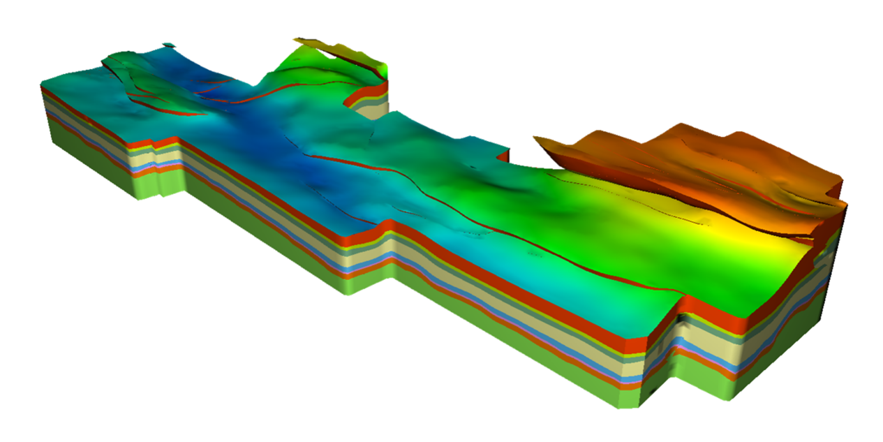
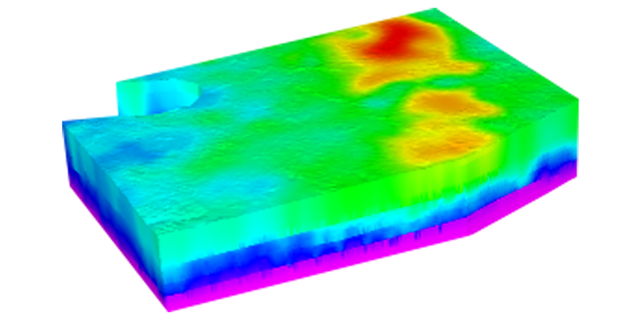
Computing Application Modules
The Computing Application Modules combine three core functions into one: establishing and simulating in-situ stress models, simulating fluid seepage processes within geological structures, and providing 3D dynamic visualization of geological structural evolution. They offer panoramic, visual decision support for underground engineering and resource development projects.
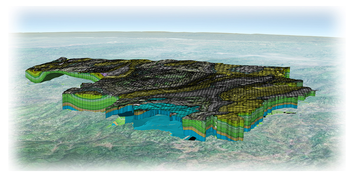
Transparent Earth Engine
The Transparent Earth Engine is an LOD-based online geological "cloud mirror," capable of hosting massive, multi-temporal, multi-element, multi-precision 3D models directly within a web browser for instant access. While accommodating vast amounts of geological data, it also provides interactive visualization tools such as elevation adjustment, excavation, sectioning, and virtual roaming. Powered by this "cloud mirror," GridWorld has rapidly incubated a suite of tailored applications, including Intelligent Geological Assurance Systems for coal mines and Urban Geological Survey Information Platforms, making complex geoscientific information readily viewable and usable anytime, anywhere.
These three powerful tools work in synergy. While building a comprehensive spatiotemporal 3D geological model system for coal mining, they also enhance safety in production and provide critical support for intelligent excavation. To date, all three products have been successfully applied across a wide range of fields, including regional basic geological surveys, intelligent coal mining, petroleum exploration and development, urban geology, geological hazard assessment, and earthquake emergency response.
As the development team, GridWorld has assembled a seasoned group of "veterans" with over two decades of deep expertise in 3D geoscience. Our experience spans petroleum exploration and development, intelligent coal mine construction, urban geological surveys, and natural resource management, and we have been tested in various disaster and emergency scenarios. Wherever you are in the world, if you encounter challenges with 3D geological modeling or numerical simulation deep within the strata, we can leverage our experience to find shortcuts, helping you swiftly identify the optimal solution.