Mineral Rights Trading: Why Use 3D Geological Models as a Guiding Framework?
2026-10-27
Foreword
At its core, mineral rights trading is a pricing game involving underground mineral spaces, resource value, and development risks. Historically, domestic mineral rights transfers have largely relied on 2D maps and reserve reports. Such slice-based data heavily depend on empirical interpretation, making it difficult to accurately represent the spatial relationships of ore bodies, faults, and old mined-out areas. The strong subjectivity in ore body delineation and prominent information asymmetry often lead to reserve distortions and deferred risks, triggering investment losses and transaction disputes. Today, 3D geological modeling technology is transforming 3D models from optional tools into the foundational digital infrastructure for the entire mineral rights trading process. It creates a unified digital language for cognition, valuation, and risk control for all transacting parties, evaluation institutions, and regulators.
Resource Reserves: From "Paper Figures" to Verifiable 3D Assets
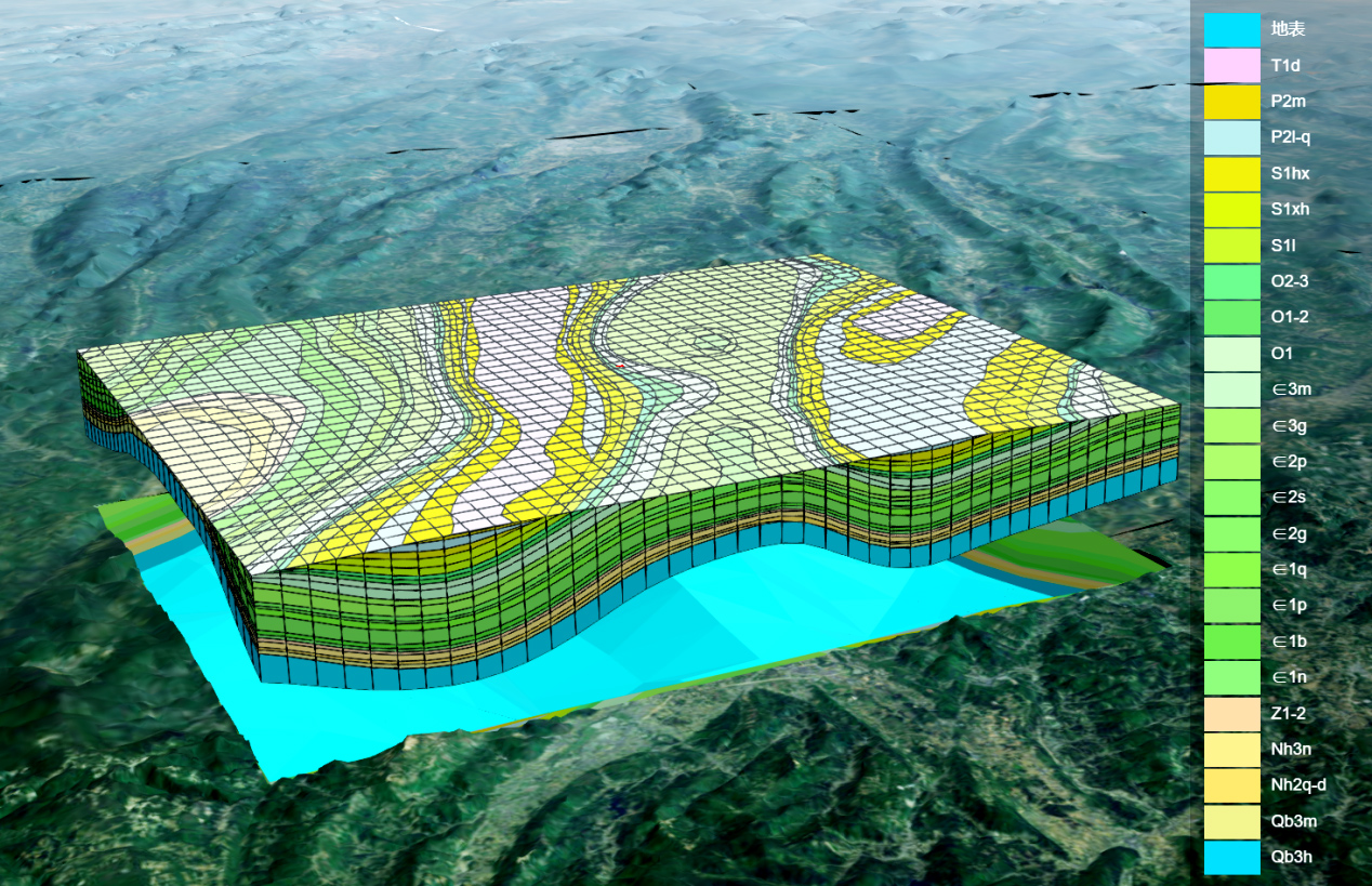
By integrating multi-source data such as topography, drill holes, stratigraphy, ore bodies, and grades within a unified spatial framework, the model restores the morphology of ore bodies, fault truncations, and interlayer distributions. It supports automatic volume calculation, block grade assignment, arbitrary sectioning, and virtual drilling. This reduces subjective errors in manual ore delineation, clearly classifies resource tiers, and distinguishes between minable, sterilized, and difficult-to-mine resources, ultimately achieving reserves that are visualizable, computable, and traceable.
3D Property Rights: From Surface Boundaries to Resolving Spatial Disputes
Mineral rights are volumetric spatial entitlements, not mere surface polygons. Planar coordinates only reflect surface projections, making it difficult to identify hidden risks such as vertical overlap of mineralized zones, conflicts with adjacent mines, and encroachment on protected targets. A 3D model can overlay layers including mineral rights boundaries, no-mining zones, and surface structures to intuitively screen for spatial overlaps and vertical boundary breaches. This provides digital support for 3D property right confirmation and contract boundary agreements, reducing ownership disputes at the source.
Economic Evaluation: Dynamic Valuation Aligned with Real Development Returns
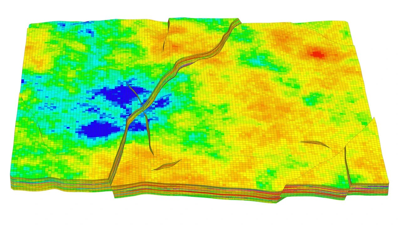
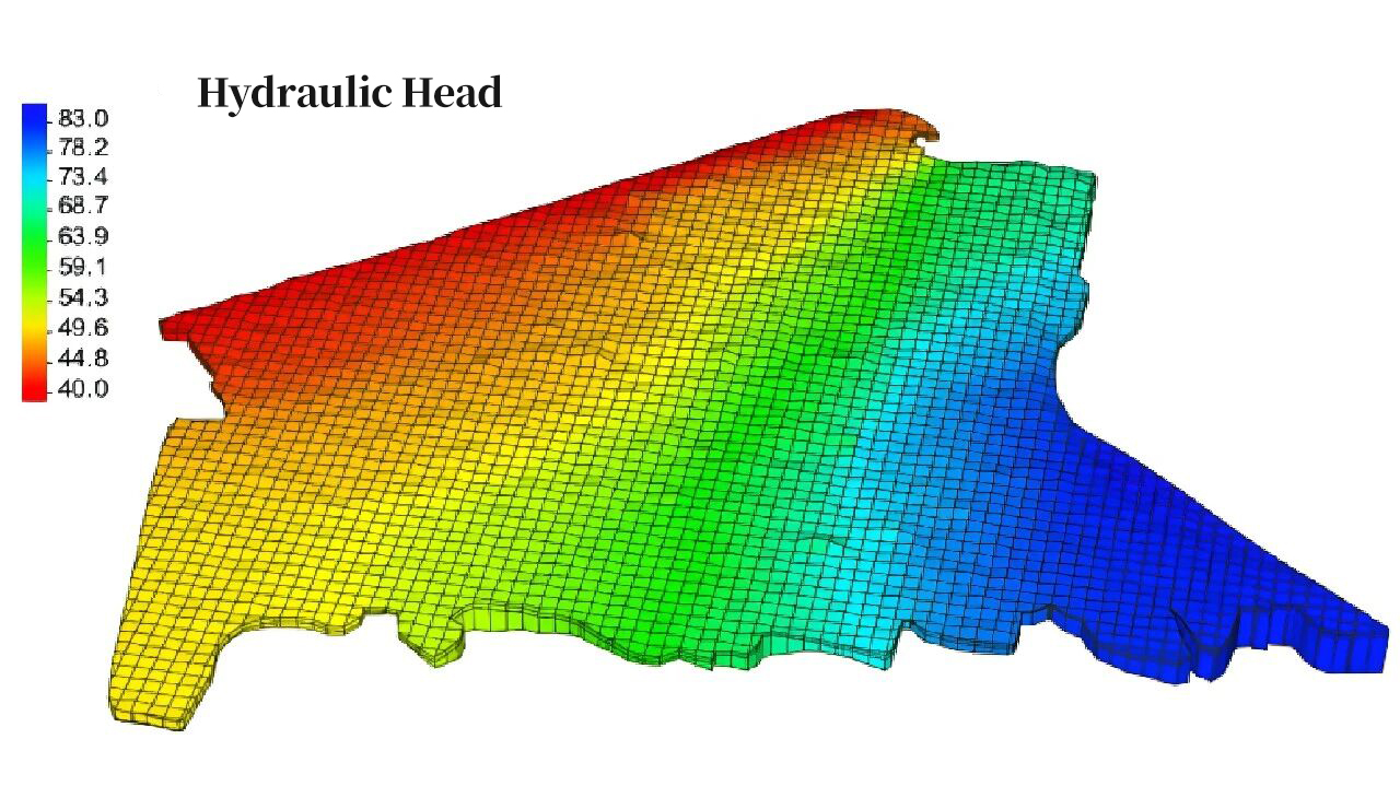
The core value of mineral rights lies in safe and economically minable reserves. Based on a 3D ore body model, open-pit limits, development plans, stripping volumes, and dilution losses can be rapidly estimated. Coupled with hydrogeological and environmental models, it identifies risks like water inrush, collapses, and old mined-out areas, and estimates remediation costs. This supports multi-scenario economic calculations, assists in designing transaction considerations and earn-out clauses, and breaks away from traditional static estimation models.
Digital Due Diligence: Compressing Information Asymmetry
The model is deeply integrated with original drill hole and assay data. Ore body correlation results can be traced back to exploration engineering, quickly locating exploration gaps and fault impact zones to quantitatively assess resource uncertainty. In bidding, mining M&A, and judicial disposal projects, multiple parties can cross-verify based on the same model to identify resource overestimation in advance. The model can also serve as a delivery benchmark, leaving objective evidence for subsequent reviews and compensation determinations.
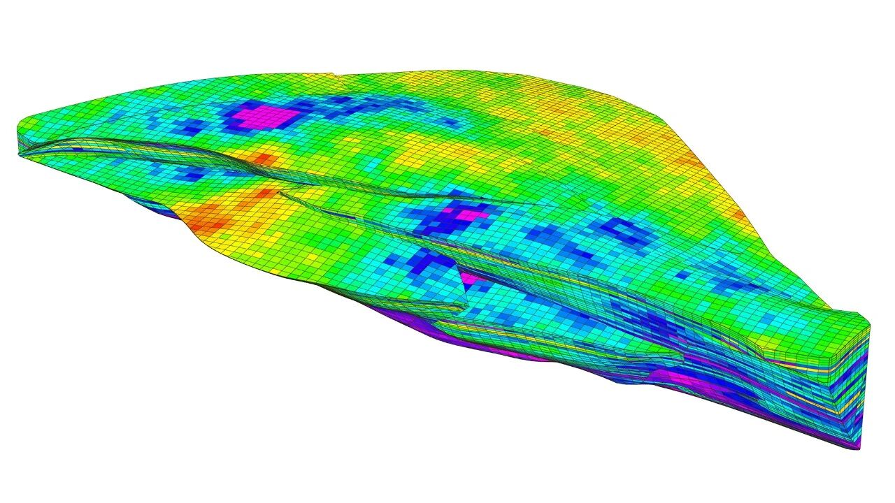
Lifecycle Integration for Digital Regulatory Compliance
For regulatory purposes, 3D models can be used to verify resource reliability and ecological encroachment risks prior to transfer. They circulate synchronously with mineral rights, spanning from plan approvals and dynamic reserve monitoring to mine closure. Newly added production data can continuously update the model, achieving "model once, reuse indefinitely," which aligns with the direction of transparent mine construction and digital mining regulation.

While 3D models cannot completely eliminate geological risks, and their precision is constrained by the quality of exploration engineering, their core value lies in making concealed underground risks visualizable and quantifiable. If 2D maps carry empirical interpretations, 3D models serve as the volumetric digital ID of mineral assets. GridWorld empowers mineral rights trading through 3D geological modeling, driving a shift from experience-based pricing games to data-driven valuation. This narrows the information gap and builds value consensus. As industry regulations improve, 3D geological models are poised to become a standard deliverable in mineral rights trading, facilitating a more standardized, rational, and controllable mining transaction environment.